


As Maharashtra braces for what could be among the fiercest rain spells this monsoon season, the India Meteorological Department (IMD) has issued orange alerts for the ghats of Konkan and Madhya Maharashtra over September 27–28. The forecast warns of extremely heavy rains (≥ 210 mm in 24 hours) in several districts, as a low-pressure system over the Bay of Bengal is expected to intensify and drive moisture-rich flows inland. Meanwhile, Pune may see light to moderate showers today, with activity intensifying over the weekend. With festive travel looming and already saturated soils, the conditions raise serious risks of landslides, waterlogging, and disruptions across transport and agriculture.
In this article, we unpack the meteorological drivers, area-wise forecasts, risks and impacts, precautionary measures, and outlooks for the days ahead.
1. Meteorological Drivers & Systems
1.1 The low-pressure system over Bay of Bengal
Meteorologists are tracking a nascent low-pressure area over the Bay of Bengal. As this system intensifies (to a depression or deeper), it is projected to strengthen the monsoon surge from the east into central India. The west-northwest track is expected to inject moisture into Maharashtra’s Konkan and ghat zones, amplifying rainfall intensity.
This trajectory and intensification are central to why the IMD has upgraded alerts.
1.2 Amplification over western ghats & orographic enhancement
As moisture-laden winds hit the ghats (Western Ghats), they are forced upward, causing enhanced condensation and heavy precipitation on windward slopes. Thus, ghat districts in Konkan and Madhya Maharashtra are especially vulnerable to torrential rain and associated hazards such as landslides and flash floods.
Because these regions already have elevated humidity and residual moisture in soil, the incoming system may trigger sharper responses.
1.3 Saturated soils and baseline vulnerability
After months of monsoon activity, many catchments and hill slopes are already at or near saturation thresholds. Additional heavy downpours may push them past tipping points, increasing the risks of land instability, debris flows, slope failures and runoff surges in rivers and streams.
Hence, even moderate intensification may have outsized local impacts due to this preconditioning.
2. Forecast & Rainfall Outlook
2.1 Districts under orange alert & heavy-rain zones
According to the IMD forecast:
- Konkan & Madhya Maharashtra will face extremely heavy rainfall (≥ 210 mm in 24 hours) over September 27–28.
- Several ghat districts (Raigad, Ratnagiri, Satara, Kolhapur, Pune ghats) are especially flagged.
- Pune: expected light to moderate rain today, with intensification likely toward Saturday (Sept 27).
- Broader regions like Marathwada and Vidarbha are under staged alerts for heavy rainfall later in the period
- The IMD’s district bulletin notes associated threats: landslides, rockfalls, flooding in low-lying areas, strong winds, rough seas along coastal Konkan.
2.2 Timeline & peak periods
- September 26 (Today): light to moderate showers in interior parts (Pune, ghat periphery)
- September 27–28: peak threat window for Konkan & ghat zones — extremely heavy spells.
- September 29 onward: rain likely to remain heavy in many areas, though intensity may gradually taper.
2.3 Hourly / intra-day risks
Within these days, short bursts of intense rain (50–100 mm/hr) may occur, especially in orographic zones and hill slopes. Thunderstorms with lightning, gusty winds, and brief hail cannot be ruled out.
2.4 Coastal & maritime impacts
IMD also warns of squally weather over coastal Konkan districts, rough seas, and strong winds along the coast. Fishing activity is especially risky.
3. Risk & Impact Assessment
3.1 Landslides, slope failures & rockfalls
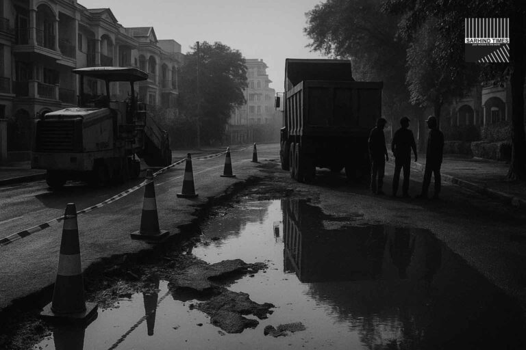
The ghats are vulnerable to slope instability under heavy rain. Regions with cut slopes, deforested hillsides, or weak rock strata may see landslides. Key trunk roads through ghats (e.g., Khandala, Tamhini) may face blockages, slips or debris.
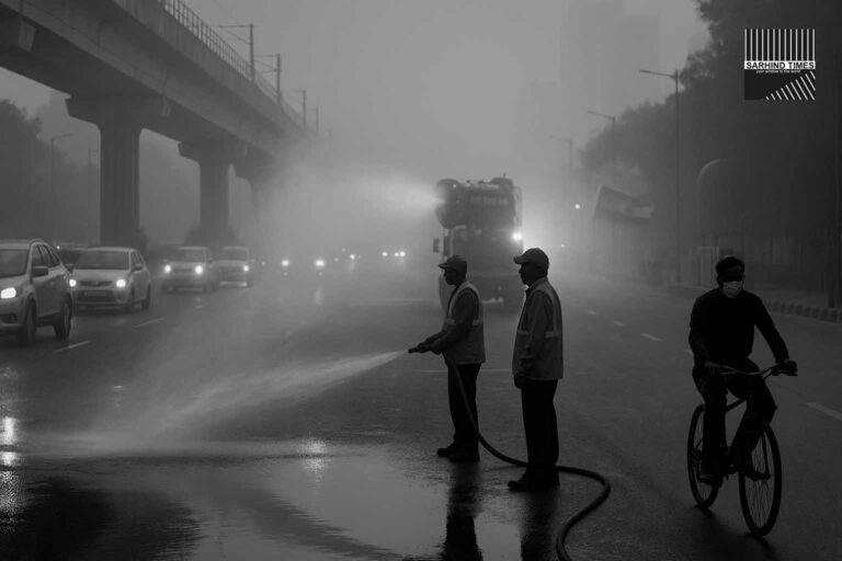
3.2 Flooding, urban waterlogging & drainage overload
Lower-lying and poorly drained urban areas in Pune, Kolhapur, Satara, and coastal towns may face waterlogging, flooded streets, overburdened drains, and disruptions in traffic. Rapid runoff from slopes can cascade into urban zones quickly.
3.3 Infrastructure & connectivity disruption
- Roads across ghat stretches are at risk (road-slips, culvert washouts).
- Bridges over small streams may be overwhelmed.
- Power lines, communication towers, and weak structures may get damaged under wind or water stress.
- Vulnerable kutcha houses, retaining walls, boundary walls may collapse.
3.4 Agriculture, horticulture & crop damage
Crops in low-lying fields may get inundated or waterlogged. Horticultural plants, young saplings, plantation crops may suffer damage from strong winds and soil slippage. Harvested produce lying in fields may spoil.
3.5 Human safety & disruption
Residents near high slopes or flood-prone zones may need evacuation. Travel delays along ghat roads are likely, especially during peak rain hours. Outdoor activity, construction work, school commutes, and pilgrimage / festival travel may be severely affected.
4. Precautionary Measures & Advisory
4.1 For local authorities & disaster management
- Preposition relief materials, pumps, sandbags, and medical help in vulnerable zones
- Monitor critical hill zones, issue micro-alerts for landslides
- Keep alternate routes ready if ghat roads are blocked
- Inspect and maintain drainage in urban zones before peak rains
- Alert all line agencies (electricity, water, transport) for readiness
- Ensure real-time monitoring of river / stream levels and upstream catchments
4.2 For travelers & commuters
- Avoid travel along ghat sections like Khandala, Tamhini, etc., during peak rain hours
- Check real-time updates and road closure advisories before departure
- Factor extra travel time; keep alternate routes in mind
- Do not attempt crossing flooded roads or streams
4.3 For residents & community
- Stay clear of hill slopes, cuttings, embankments, and overhanging ridges
- Avoid staying in vulnerable structures or under loose walls
- Secure roof tiles, drainage outlets, terrace water channels
- Avoid outdoor work during thunderstorm spells
- In crops or fields: harvest or cover produce where possible; avoid irrigation/chemical spraying during rain spells (as per IMD agromet advisory)
4.4 For farmers & livestock
- Move cattle to safe enclosures
- Cover or shift harvested produce / grains to safe storage
- Delay field work / spraying
- Monitor drainage on farmland and ensure excess water escape paths
5. Area-Wise Outlook & Local Notes
5.1 Konkan & coastal districts
Konkan districts like Raigad, Ratnagiri, Sindhudurg are in direct line of the incoming moisture-laden winds. These locales can expect very heavy to extremely heavy precipitation, squally weather, gusts, and rough seas. Coastal roads, fishing communities, and small hamlets near hills are particularly vulnerable.
5.2 Ghat zones in Madhya Maharashtra
Rainfall over Satara, Kolhapur, western Pune districts will be intense due to orographic lift. Hill slopes and forested ghat belts should be watched closely for landslides and flash flow paths.
5.3 Pune & adjacent interiors
While Pune city itself is in for mostly light to moderate rainfall today, heavier spells could hit overnight or by Saturday. Peripheral and ghat-adjacent zones may see stronger activity.
5.4 Marathwada & Vidarbha
Though these regions are further east, IMD forecasts point to staggered heavy to very heavy rain risk later in the period. These zones should monitor for isolated flooding, crop stress, and waterlogging.
6. Outlook & What to Watch
- Whether the low-pressure system intensifies as forecast, or whether it weakens or shifts path.
- Hourly / synoptic monitoring of rainfall bursts, cloud bands, and radar imagery.
- On-the-ground reports from hill roads for early landslides.
- River / stream levels in catchments draining the ghats.
- Real-time advisories from IMD subdivisions, district meteorological offices.
- Behavior of soil moisture indices: whether small further rain triggers disproportionate runoffs.
- Post-rain assessments: damage, response, repair, and relief operations.
If the system behaves as expected, late September may see one of the more intense rain episodes in Maharashtra’s monsoon tail phase.
7. Conclusion
The IMD’s orange alert for very heavy and extremely heavy rainfall over Konkan and Madhya Maharashtra is more than a forecast — it is a warning of heightened natural stress in a region already pushed by monsoon rigors. As moisture-laden winds converge on the ghats, orographic forces may trigger severe rain bursts that test slopes, rivers, infrastructure and urban resilience.
For authorities, the coming days will demand vigilance, readiness, and rapid response. For citizens and travelers, precaution, avoidance of risky zones, and real-time situational awareness will be the key to safety.
As September winds down, the state must brace not just for showers, but for cascading effects — from landslides and infrastructural hits, to agriculture and livelihoods. In a way, this may be the monsoon’s final big push — one to watch, one to prepare for.
#IMDAlert #MaharashtraRains #Konkan #Pune #Monsoon #Weather #IndiaWeather #HeavyRain #GhatRisks #FloodAlert


+ There are no comments
Add yours