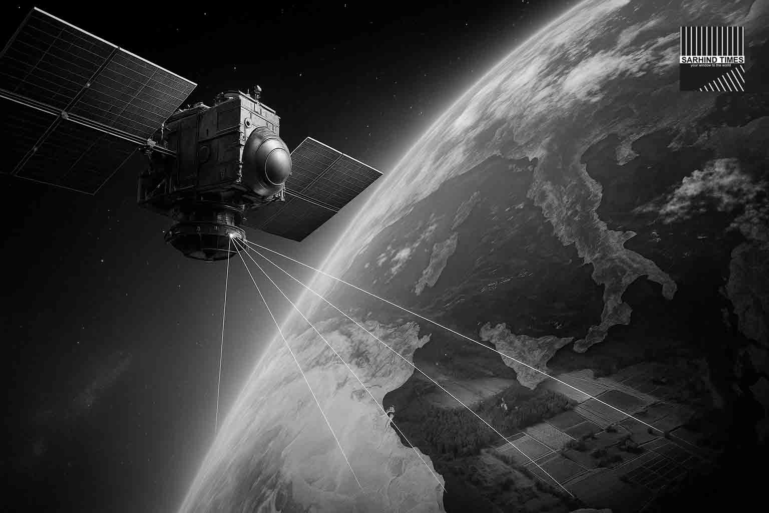
The world is witnessing a new chapter in Earth observation as the NASA–ISRO Synthetic Aperture Radar (NISAR) mission sent back its first radar images. For India’s space program and global science alike, this moment is more than just a technical achievement—it marks the dawn of a mission set to transform the way humanity monitors forests, farms, coasts, and cities from space.
With its dual radar bands, unmatched imaging precision, and a unique Indo-American partnership, NISAR is expected to revolutionize climate science, disaster management, and agricultural planning. The initial images, already displaying stunning clarity, validate the mission’s instruments and provide a glimpse into the future of global monitoring.
What is NISAR?
NISAR is a joint mission between NASA and ISRO designed to map the Earth’s surface with centimeter-level accuracy.
- Technology: Uses L-band (NASA) and S-band (ISRO) radars.
- Orbit: Sun-synchronous, near-polar orbit at ~747 km altitude.
- Coverage: Global revisit every 12 days.
- Lifetime: Designed for at least 3 years of continuous operations.
This is the first major space mission where NASA and ISRO are co-developing and launching a flagship Earth-observing satellite.
The First Images
The first radar snapshots showed crisp differentiation between:
- Water bodies and their boundaries.
- Vegetation cover, from forests to croplands.
- Urban areas, clearly distinguishable from rural landscapes.
Scientists confirmed that instrument calibration is on track and data quality surpasses expectations.
“These images are just the beginning. The precision is astounding and confirms NISAR will be a game-changer,” said Dr. Anil Bhardwaj, Director of ISRO’s Space Applications Centre.
Why It Matters
1. Disaster Management
- Rapid mapping of floods, landslides, earthquakes.
- Real-time detection of land deformation, critical for infrastructure planning.
2. Agriculture
- Crop cycle monitoring.
- Precision advisories to farmers.
- Water management optimization.
3. Forests and Climate
- Tracking biomass for carbon accounting.
- Identifying deforestation hotspots.
- Monitoring wetlands and fragile ecosystems.
4. Urban Growth
- Expansion of cities tracked over time.
- Useful for urban planners and environmentalists alike.
India’s Priorities
ISRO emphasized NISAR’s utility for national missions:
- Doubling farm productivity: Real-time advisories for farmers.
- Climate resilience: Tracking Himalayan glaciers and coastal vulnerabilities.
- Disaster relief: Faster and more accurate relief deployment in flood-prone areas.
For India, prone to floods, cyclones, and droughts, such a tool could save billions in disaster costs and help protect millions of lives.
The Indo–US Collaboration
NISAR is also a symbol of growing India–US space cooperation.
- NASA contributed: L-band radar, high-precision GPS, data systems.
- ISRO contributed: S-band radar, satellite bus, launch via GSLV Mk II.
- Joint operations: Data sharing, science applications, calibration.
“This is not just about space. It’s about science diplomacy—two major democracies working together for global good,” noted a NASA spokesperson.
Global Scientific Impact
NISAR’s archive of Earth images will:
- Provide baseline climate data.
- Help researchers model sea-level rise and carbon fluxes.
- Enable policy interventions for sustainable development.
Scientists expect the dataset to rival those of Landsat or Sentinel, with the added advantage of radar’s all-weather, day-night imaging capability.
The Road Ahead
The mission is in its commissioning phase. Over the next months:
- Instruments will undergo full calibration.
- Algorithms for flood, crop, and urban monitoring will be fine-tuned.
- Public data releases will begin, likely within a year.
ISRO has promised open data access for Indian researchers, while NASA will make the dataset globally available.
Challenges
- Data overload: Petabytes of data to process.
- Ground systems: Need massive capacity for storage and analytics.
- Policy integration: Translating science into on-ground governance will be key.
Conclusion
NISAR’s first images mark not just a technical milestone but a promise—a promise of sharper climate insights, stronger disaster response, and smarter agriculture.
As the satellite settles into routine operations, it will serve as humanity’s watchtower in space, recording every shift of rivers, every loss of forest, and every expansion of cities.
For India and the world, the mission is a step toward marrying space science with sustainability.
#NISAR #ISRO #NASA #EarthObservation #ClimateTech #RemoteSensing #SpaceScience #SarhindTimes


+ There are no comments
Add yours